Cauto River
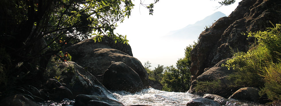
The Windy River
The Cauto River is located in the eastern hemisphere of Cuba. It is the island’s longest river; it flows for 370 km from its source in the Sierra Maestra westward through alluvial swamps into the Golfo de Guacanayabo. Its tributaries include the Salado, Bayamo, and Contramaestre rivers. Rice, sugarcane, tobacco, and cattle are raised along its course. The Cauto River flows through the provinces of Santiago de Cuba, Holguin, and Granma. The communities of Palma Soriano, Cauto Cristo, and Rio Cauto are located along the river. The River contains many rare and endangered species of fish and birds. The Cuban gar, a rare fish that is a living fossil, and the Manjuarí, a fish species that dates back to prehistoric times, are two fish that can be found in the river. As for birds, the long-tailed Hawk, Catey, and Flamingo can be found along the river. The Cauto River’s climate is tropical, much like the Sierra Maestra. It is seasonally humid, with a distinct season from May to October and a dry season from November to April. The Cuato River is important for Cuba because it is the biggest source of water for agriculture. Cuba grows a variety of crops, including sugarcane, citrus, coffee, tobacco, rice, potatoes, beans, and livestock. Cuba also produces tropical fruits and vegetables.

The Cauto river is the longest river in the Carribbean!

A birds-eye view of the River
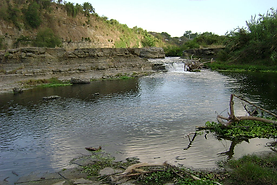
Wildlife along the river bank
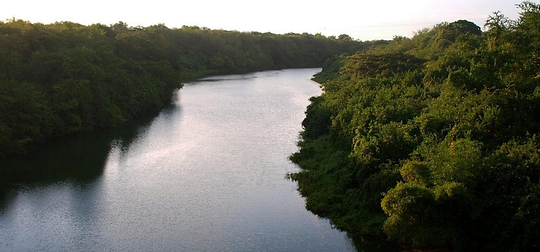
A short strech of the river
Citations
Contributors. “River in Cuba.” Wikipedia.org, Wikimedia Foundation, Inc., 14 Mar. 2006, en.wikipedia.org/wiki/Cauto_River. Accessed 9 Mar. 2025.
“File:Río Cauto CF9A0967.Jpg - Wikimedia Commons.” Wikimedia.org, 16 Dec. 2016, commons.wikimedia.org/wiki/File:R%C3%ADo_Cauto_CF9A0967.jpg. Accessed 9 Mar. 2025.
“The Cauto River: Lifeline of Eastern Cuba | LAC Geo.” Lacgeo.com, 30 Dec. 2024, lacgeo.com/cauto-river-cuba. Accessed 9 Mar. 2025.